
GIS, Maps & Graphs
Warwick Maps
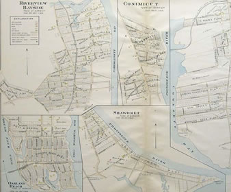 In order to better understand the myriad of issues facing the City of Warwick, sometimes a visual representation of certain elements is helpful.
The following section will provide visitors with not only general maps to learn how to get from point A to point B, but will also show district maps, FEMA flood maps, historical maps, demographic information, and more.
In the event you have a particular interest in a specific type of map (which is not listed below), please feel free to contact Warwick City Hall and we will be more than happy to try and fulfill your request. In addition, you may also contact us in the event you possess a map of historic value and interest that you would like to share on warwickri.gov